Capturing the Art of Nature
Click on image to view gallery
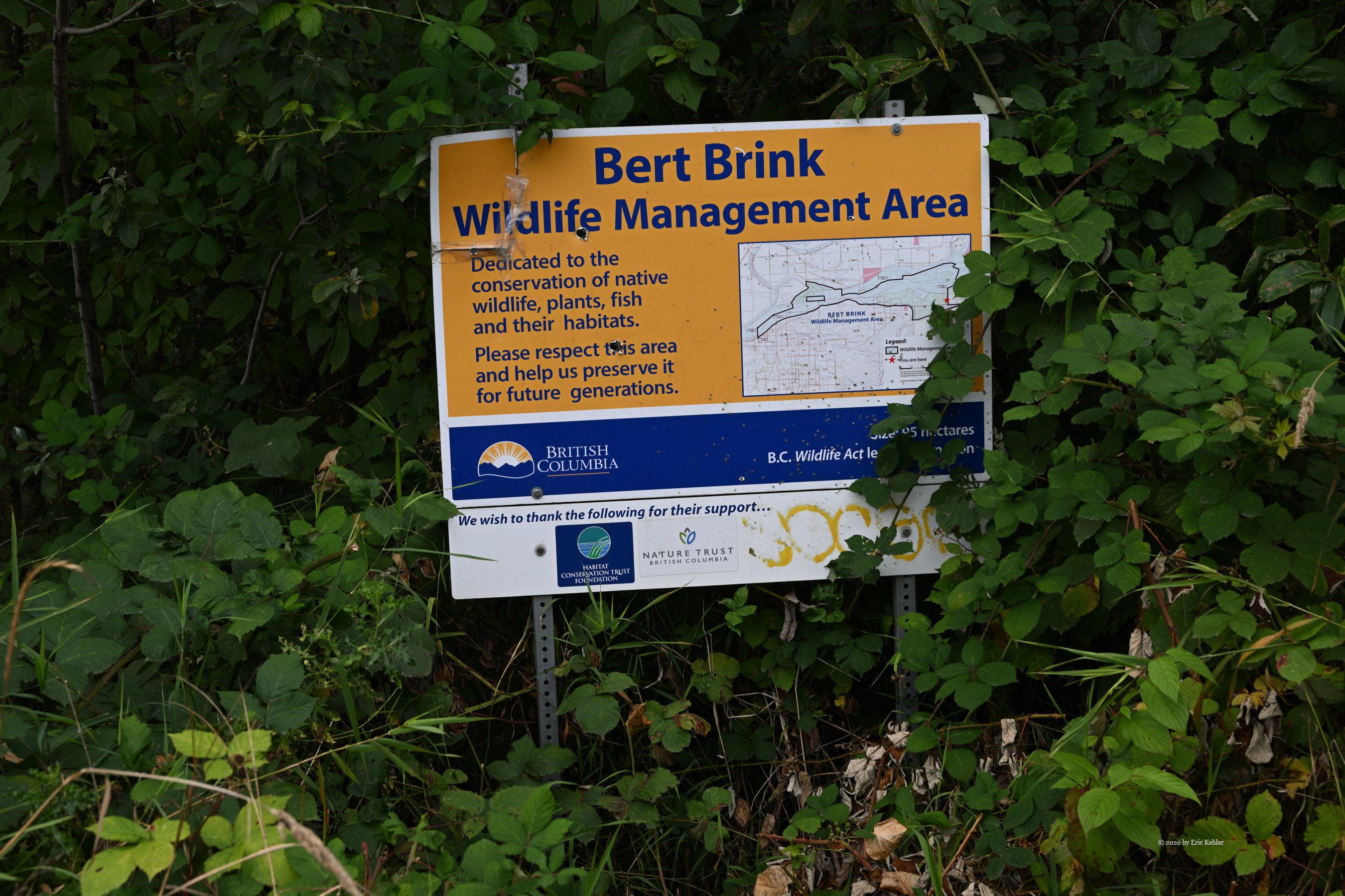
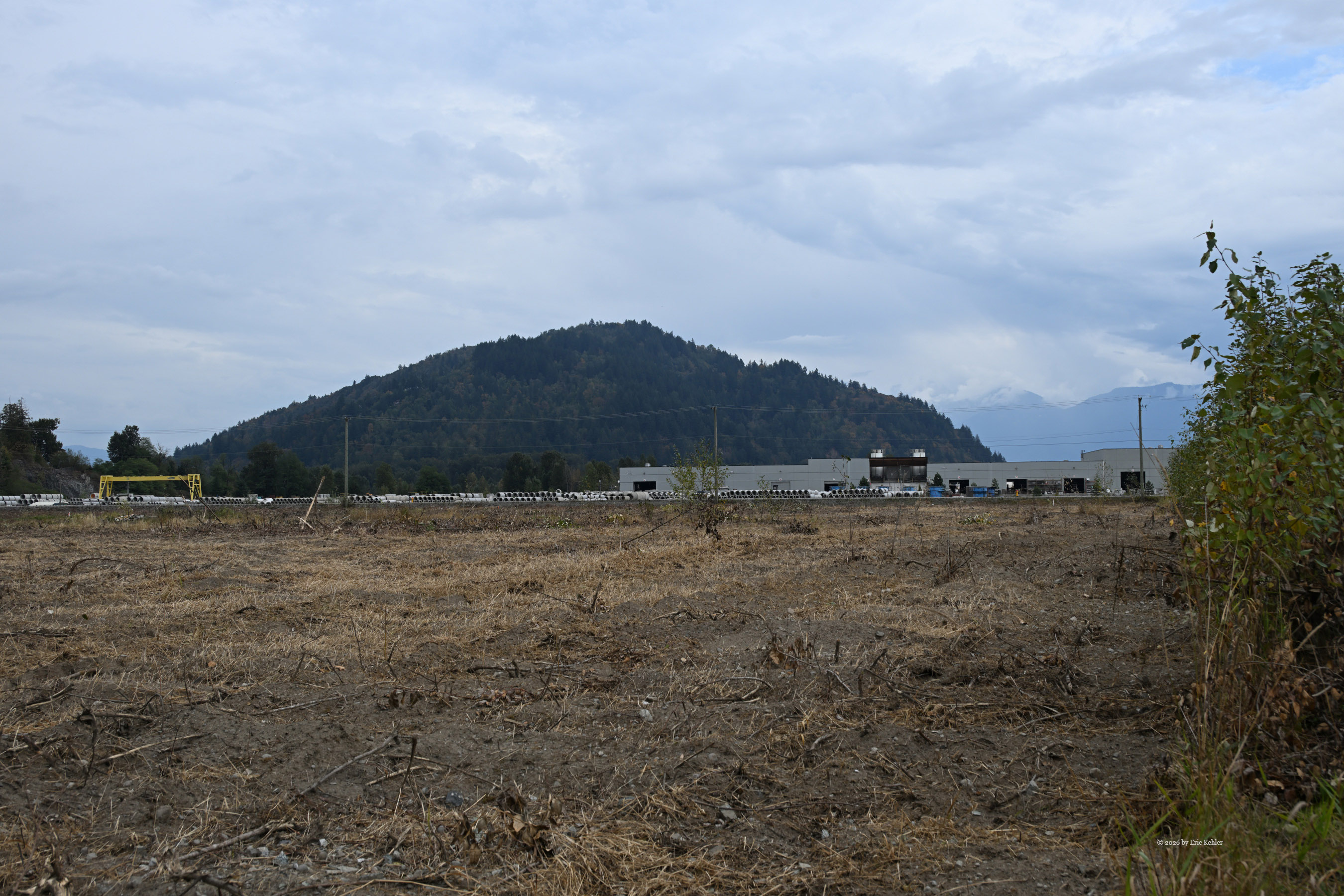
Ralph was up for another park adventure. We needed to choose between a park in Vancouver City or one up the valley. Both were about an hour's drive away, but one required fighting gridlocked city traffic while the other offered the wide-open expanse of the valley road. Traffic didn't appeal to us at all, so the trip up the valley became our goal. The closest park on our list that I hadn’t done yet was the Bert Brink Wildlife Management Area. This rugged park encompasses protected lands on both sides of the Fraser River and hugs the steep, eastern slope of Sumas Peak. The southern side looked far more accessible on the maps, so that became our definitive destination.
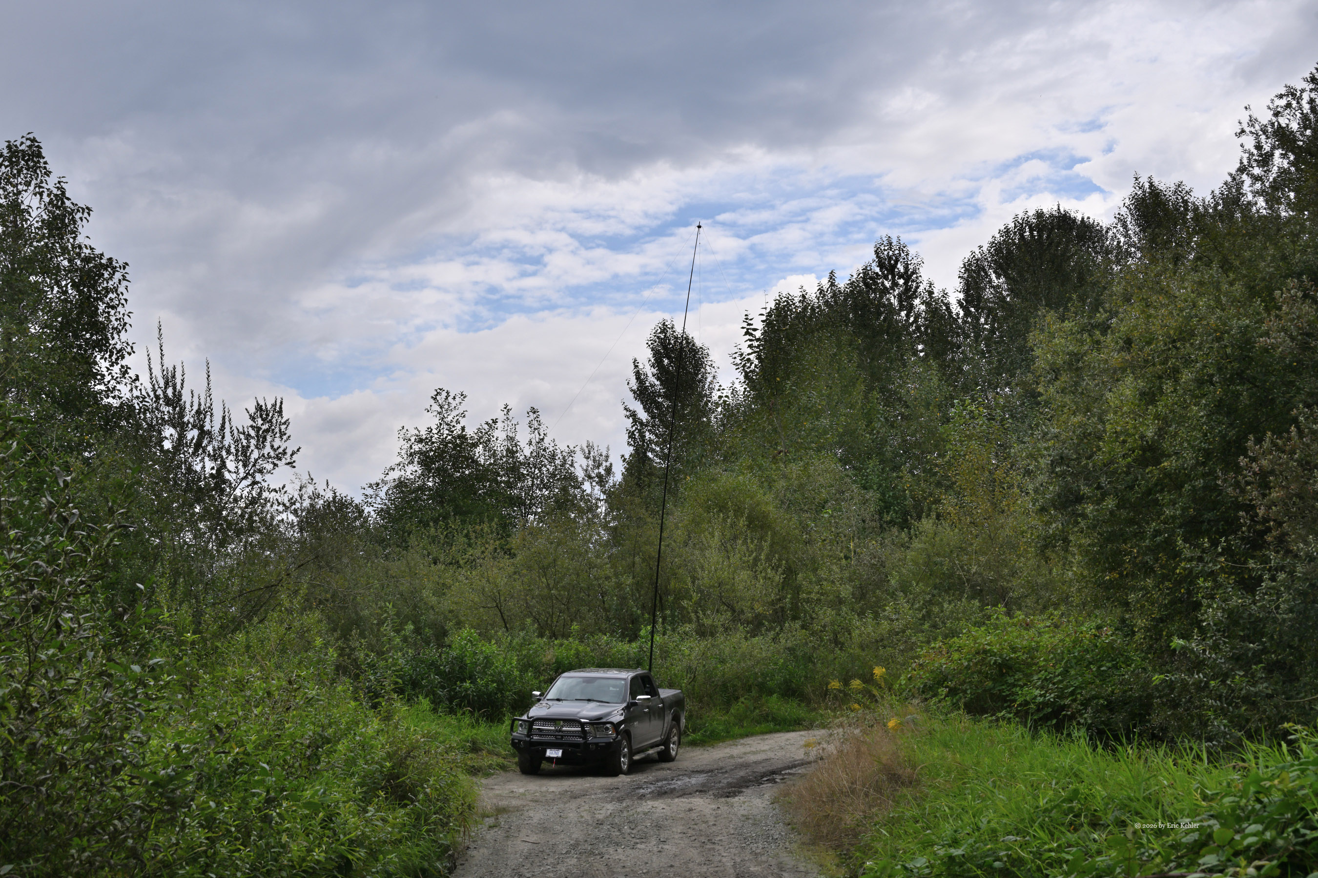
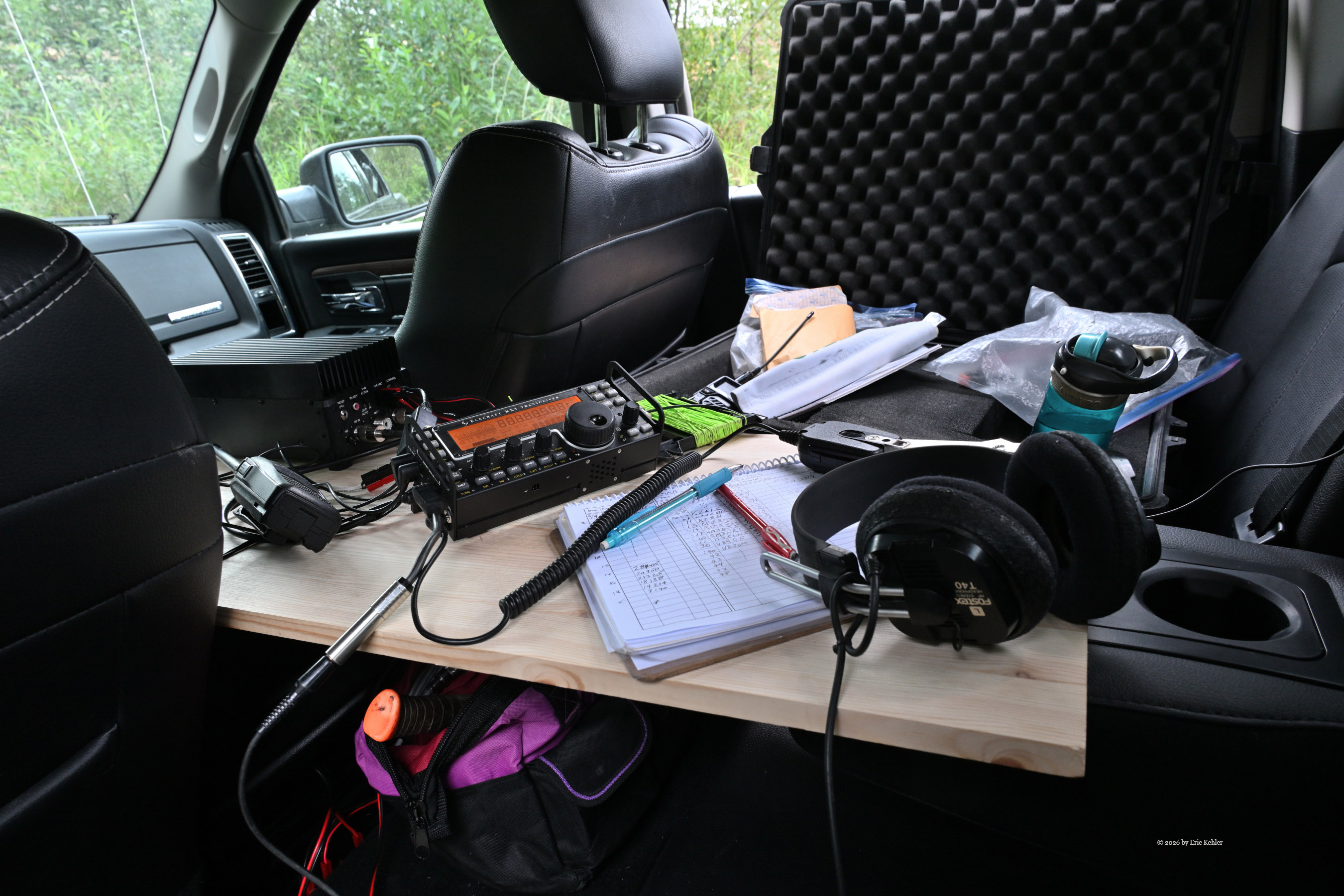
In reviewing the maps, the southern area appeared to have a gravel access road entering the park from the east. Because the road looked rough and unmaintained, I decided to use my truck for this adventure. It also offered a convenient operating setup, as I have the truck specially prepared so I can operate comfortably while sitting right inside the cab. I was concerned that the road might be gated before the park boundary, so I located a backup second spot where we could set up along the very edge of the park. Done with planning, I loaded up the truck and started out to pick up Ralph. Once together, we set out for Starbucks, of course, to get a coffee. The price of diesel was sky-high, so the truck was left a bit thirsty today. We made good time until we hit the freeway, which had ground to an absolute parking lot for a few kilometers. I guess too many people were heading out for the long weekend. So much for avoiding traffic.
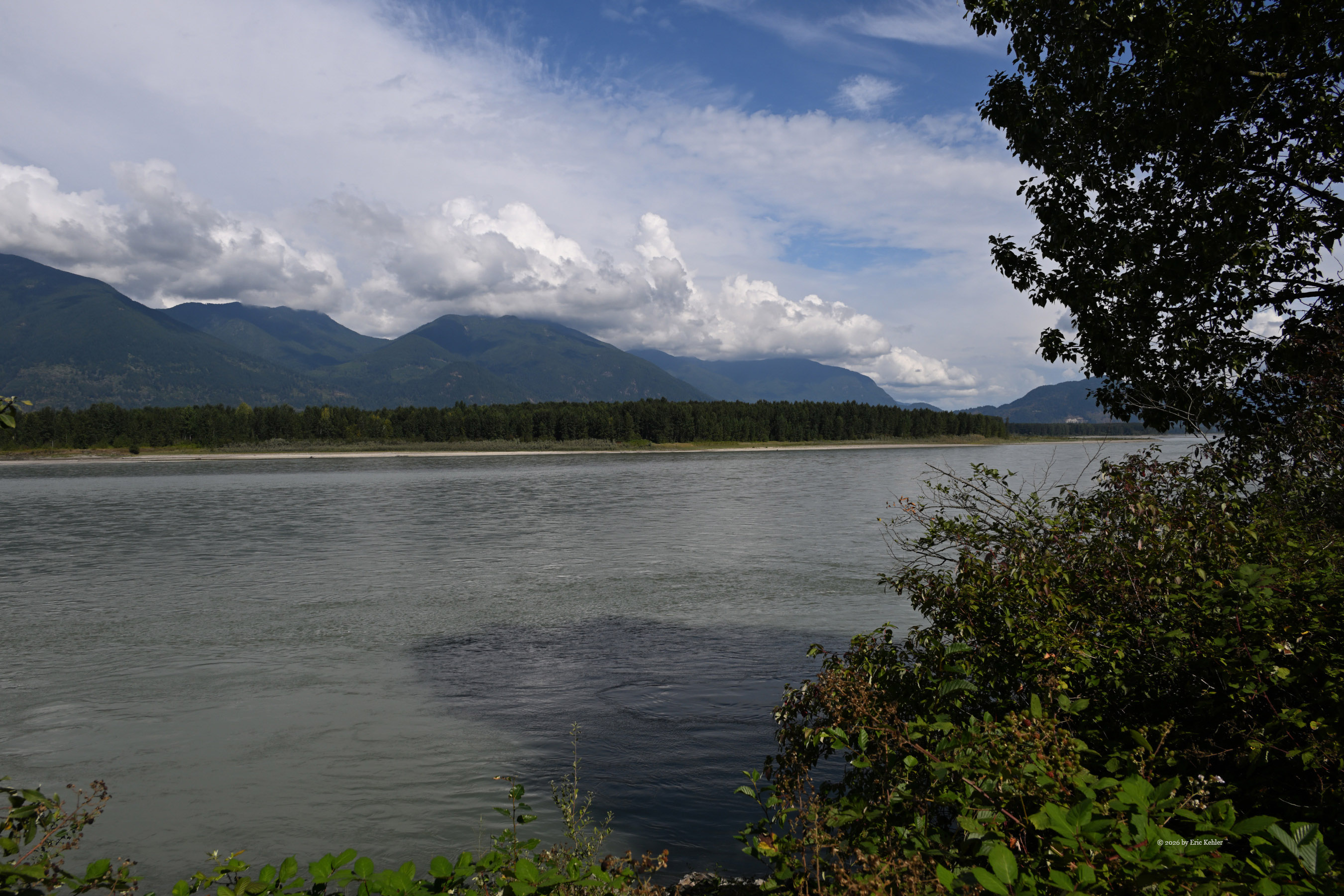
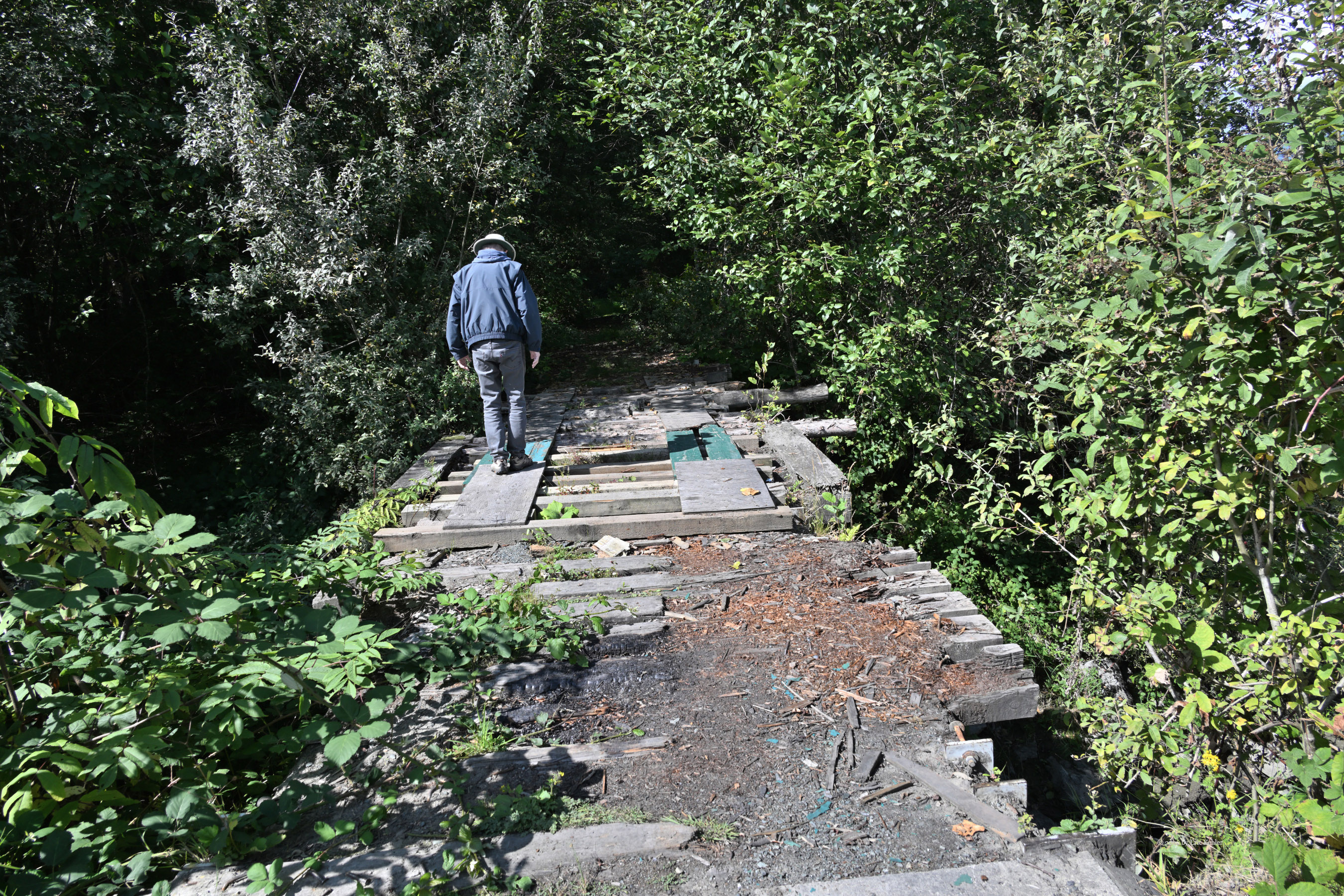
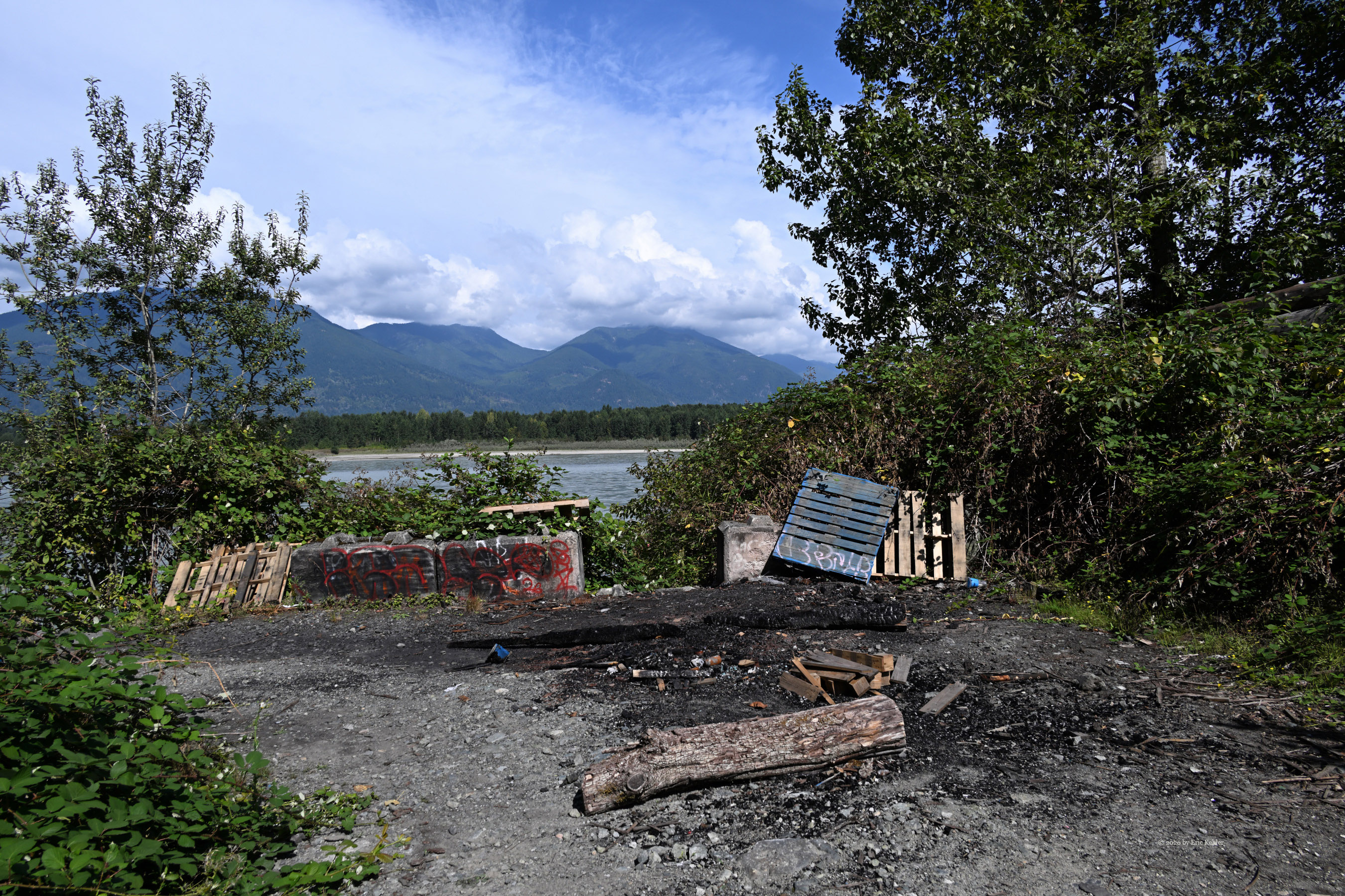
We eventually arrived at the gravel entrance road and found it completely ungated, so we drove right in. The track was narrow, with dense brush and overhanging branches actively squeezing in on the sides of the truck. There were some deep potholes to navigate, but otherwise, it was fairly easy, level driving. As we came to the end of the road, we stopped at a widened section where we spotted another truck stopped at the dead end. A chap was there, and when he saw us, he obligingly backed his vehicle out to allow us access. We continued the short distance to the end and parked. The road was blocked for further vehicle access, putting us right at the edge of the Fraser River. The trail leading down to the water was choked with a thick, tangled wall of wild blackberry bushes, and I wasn't in the mood to fight the sharp thorns today. To the west, a bridge spanned a small stream, where the old road continued for another 600 meters through a canopy of trees to what would be a lovely, sun-bleached open sandbar on the river. However, the bridge was too weathered to carry a truck, which is exactly why the road was blocked.
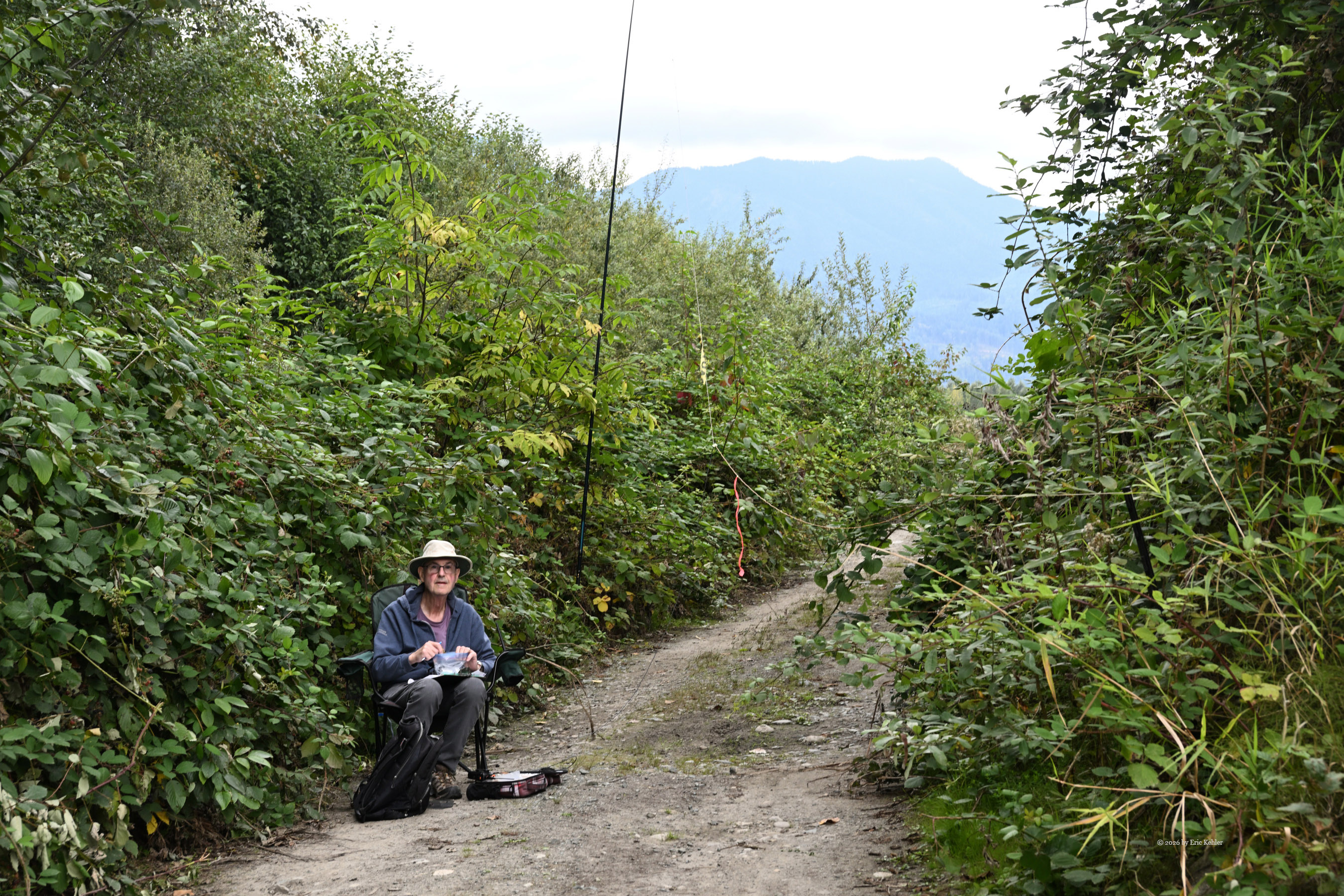
At this point, the chap we saw earlier walked back to us and asked how we had learned of this hidden spot. I explained the Ham radio Parks on the Air program, which he found interesting. He mentioned he had been coming here over the years and noted how much more overgrown, wild, and reclaimed by nature it has gotten. Soon he left us, and we decided on our locations to set up in. I decided to operate in the wider section of the dirt roadway, while Ralph picked an area a bit closer to the rushing river.
We proceeded to set up our gear. Ralph found the sun-baked ground so incredibly hard that he wasn’t even able to push his support stake into the dirt! Where I was positioned, I was able to get off the road a few feet to where the earth was softer and more forgiving. Once set up, I started scanning the 20-meter band, as the other bands were entirely empty and silent. I heard a station in North Dakota and soon had him in my log. Next, Ralph called me on the handheld, so we worked each other on the three VHF/UHF frequencies we normally use. After that, we went back to our own calling. I soon had a few more contacts in my log, including stations from Wisconsin, South Dakota, New Brunswick, and Ontario. I even managed a clear chat with a station all the way in Sweden! It was slow going, but the band was working. I tried working our club member, Bob, who was back home, but neither of us could hear the other through the static. At one point, I briefly caught his signal on 40 meters, but he couldn't hear me. Being positioned right at the foot of Sumas Peak—which sat like a massive wall directly between us—didn’t help. So, we had no contacts there.
Ralph was having less luck than me. Our two stations were really a bit too close to each other, which caused enough radio interference that he wasn’t hearing distant stations well. I was able to work around his calling, but I think I missed out on a few contacts because of the proximity, too. As we approached the one-hour point of operating, we decided to end the radio work and eat lunch. We packed away the two stations, and Ralph joined me inside the cab of the truck while we ate our lunches.
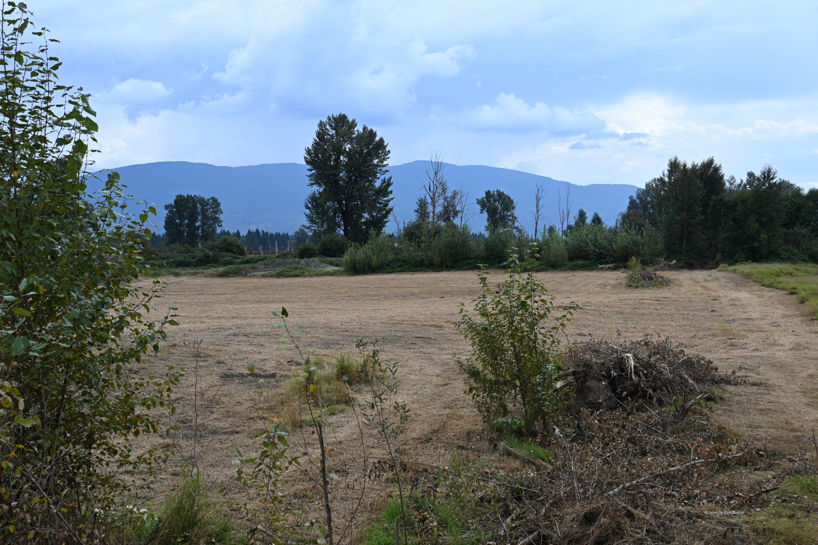
Done with lunch, we drove back out the gravel road while I gathered a few more photos of the landscape. The area offers some truly lovely, sweeping views of the majestic mountains rising to the north. The river vista was beautiful as well, and it would have been quite spectacular if I had braved the thorns to get to the water's edge. I definitely need to pack some clearing tools to deal with that type of thick obstruction next time. We both thoroughly enjoyed our time out in nature, though Ralph had hoped for more contacts. The drive home went OK. I stopped at Davis Meats again to pick up a nice ham. The navcom had us follow a few side roads to bypass some of the highway traffic congestion, which added a little welcome variety to the return drive.
Overall, it was a successful day in the park. I would have liked to explore the riverbank a bit more and gather some photos, but just being out there and seeing a beautiful area that I normally just drive past blindly on the highway was well worth the time. Will I be back? Probably not, but I am glad I came this time.